No Destination: Frenchburg School Campus

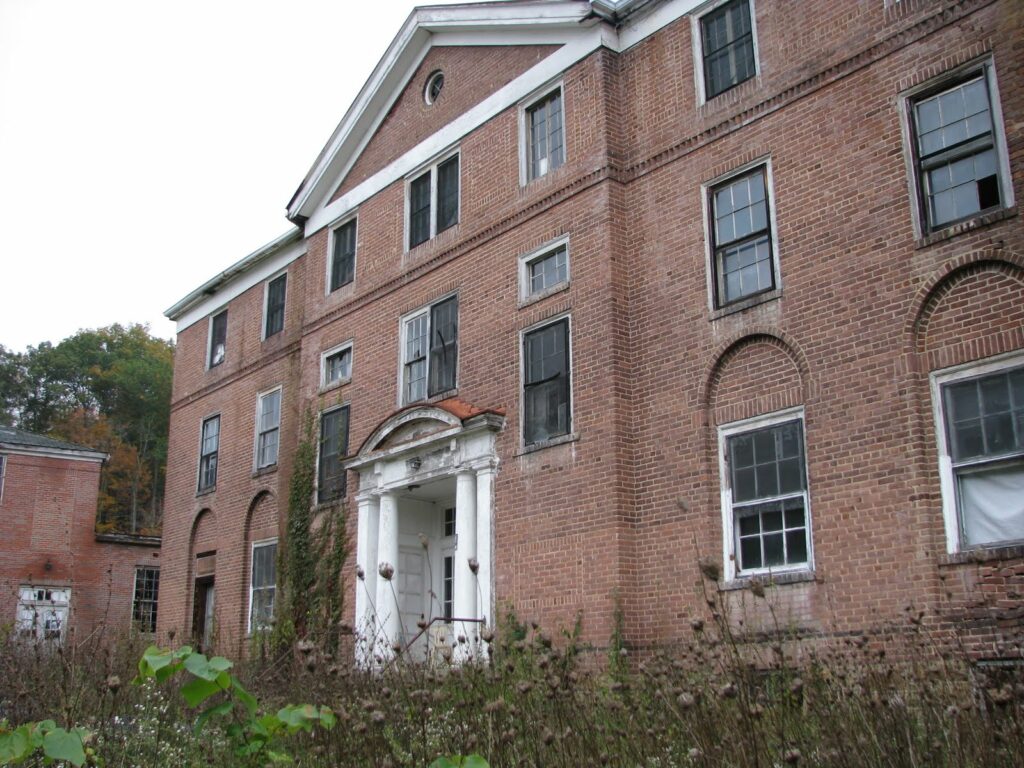
Driving into Frenchburg, I noticed several abandoned buildings behind the Sav-A-Lot that piqued by interest. The three large brick buildings were completely out of place. Finding information, even with the internet, proved difficult at first.

The Frenchburg School opened in 1909 by the Presbyterian church. It provided religious, educational and medical services to regional residents. In fact, for several years after the opening of its hospital in 1915, Frenchburg had the only hospital located between Lexington and Ashland. (Note: Watch this YouTube video created in 1944 featuring Frenchburg physician Dr. Richard Adler – it is very interesting.) The Frenchburg School also provided the only high school educational offering in the county (despite state law mandates).

The three brick buildings I saw were the School Building (c. 1910, two-story), the Girls’ Dormitory (c.1917, three-story Georgian Revival) and the Hospital Building (c. 1941, Neo-Georgian replacing original 1915 structure lost to fire). In their hayday, the buildings would have been typical of the “classical renaissance that developed in the late 19th century … suitable for an academic setting.”

The buildings have been vacant since at least 1978, when the site was listed on the National Register of Historic Places. The Application was a source of much of the information in this post is available here (PDF).

No Destination: Menifee County

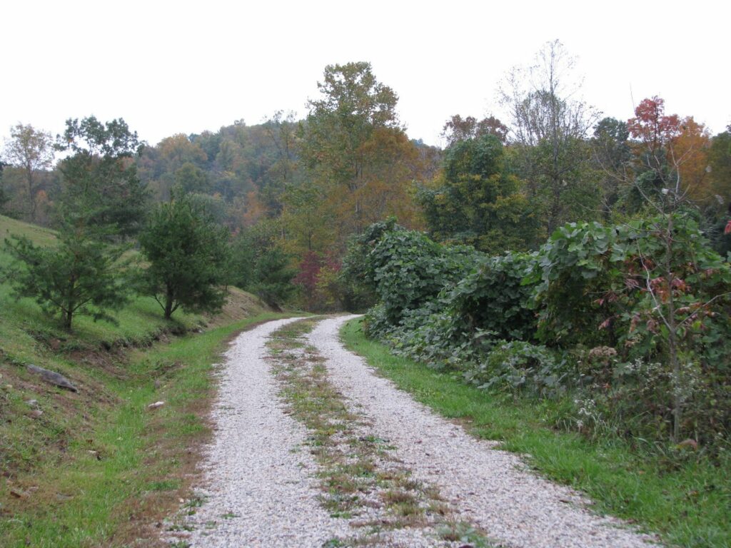
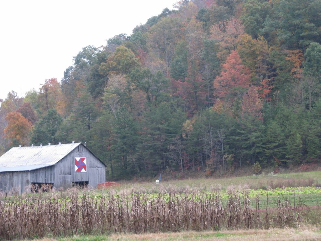
Just east of Means, Kentucky – an unincorporated community in Menifee County – I twice pulled off the road. Now in the Daniel Boone National Forest, the leaves were really starting to change colors. The first is pictured above.

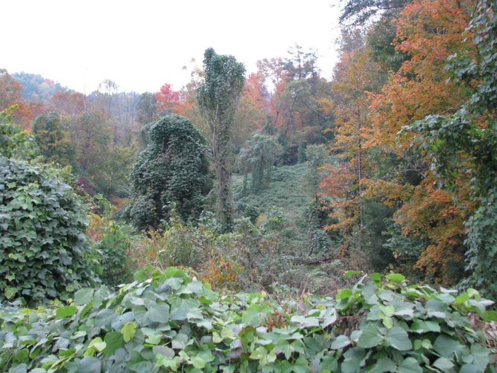
The second time I pulled off the road, I went up a steep, gravel road (Scenic Ridge Road). About mid-way up, I questioned whether this was a good idea (for those that don’t know, I drive a Honda Fit). Anyway, I made it and the view was great. But also disappointing. I had no idea that the kudzu invasion had reached this part of Kentucky. Apparently, as evidenced below, it has.

No Destination: First Presbyterian Church of Mount Sterling

Traveling Kentucky’s counties in the fall is a risky proposition. You never know when you might run into a county’s fall festival. This was the case yesterday: Court Days in Mount Sterling.

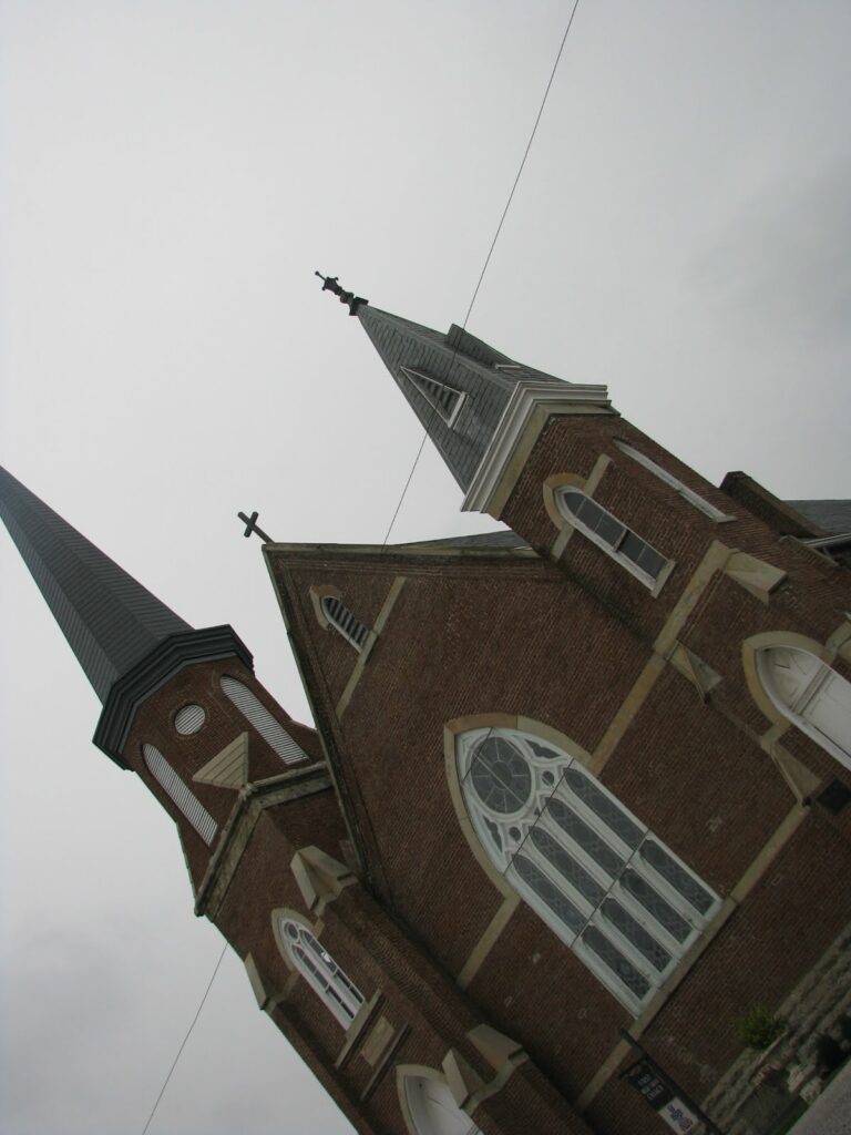
All on-street parking was closed and I pulled into the lot of the Presbyterian Church (pictured above). The man said that I could not park there without paying, even if it were only for a few minutes. Note: he had no customers. Instead, I turned around and parked in a lot around the corner. The woman in that lot said that I could park there momentarily with no trouble and she pointed me toward the Courthouse.

I walked around Mount Sterling and returned to snap a few pictures of the Presbyterian Church. The man from earlier apologized; I told him it was not a problem and that a kind woman around the corner had allowed me to park gratis. I joked with him that he had “married up,” as it was his wife managing the lot around the corner.

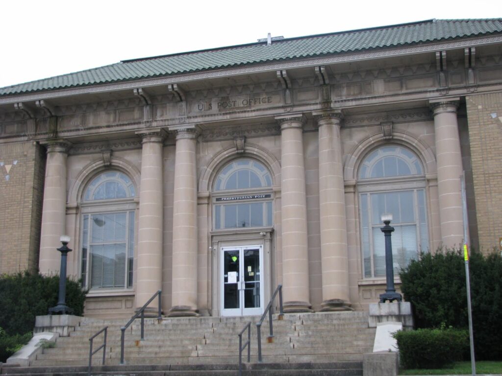
The wife also told me about the Presbyterian Church. Next door to the church is the “Presbyterian Post,” (pictured below) which functions as additional space for the church, a community center and a community medical clinic. The Post is the old Post Office – likely constructed around 1910 and purchased by First Pres in 1991.

No Destination: Mount Sterling

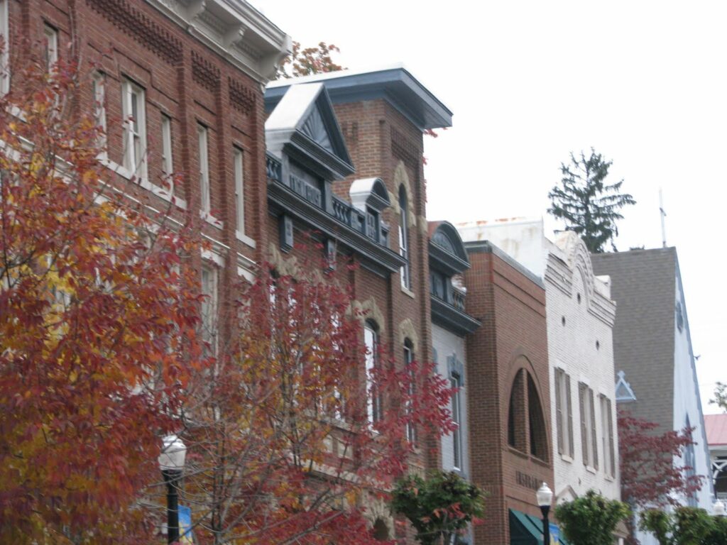
When Nate visited the Montgomery County courthouse, he was underwhelmed by the courthouse but very impressed with the “painstakingly restored” buildings in Mount Sterling. I couldn’t agree more. The historical preservation and adaptive reuse in this community.

One building, with markings of “Engine House,” “City Court,” and “Library” now has a banner in front noting the new home of the Montgomery County Historical Museum. The old city jail, “The Bell House,” was constructed in 1815 and restored around 1990 by the local historical society.

Mount Sterling was a regular scene of Civil War activity. Possession of the city changed a dozen times during the War; the courthouse was burned by Confederate forces in December of 1863; the Battle of Mount Sterling (March 22, 1863) resulted in only 12 deaths, but resulted in the capture of 438 prisoners and significant Union supplies; and in June 1864, Gen. Morgan and his horsemen took the vault key from the cashier of Farmer’s Bank and left town with over $60,000.

One of Morgan’s men (Lt. Witherspoon) was tried in a civil action in 1866, but the judgment against Witherspoon was reversed on appeal because robbery was not unlawful under the laws of war.

Red River Gorge

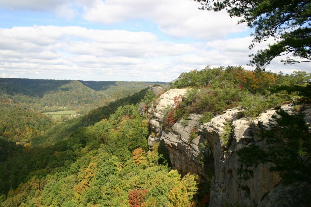
I know I’m only supposed to do the Kentucky 120 posts, but last weekend my wife and I hiked the Auxier Ridge up to Courthouse Rock in the Red River Gorge. For those local Kentuckians who may have never been to the Gorge, you really should get up there. The hiking is especially good this time of year, with the cooler temperatures and the leaves changing color.
According to the site redrivergorge.org, the park contains more than 80 natural arches, many endangered or threatened species and rock shelters that the Native Americans and Daniel Boone used for shelter. It’s really a beautiful place that is shockingly close to Lexington and easily accessible.

walkLEX: Cheapside Park

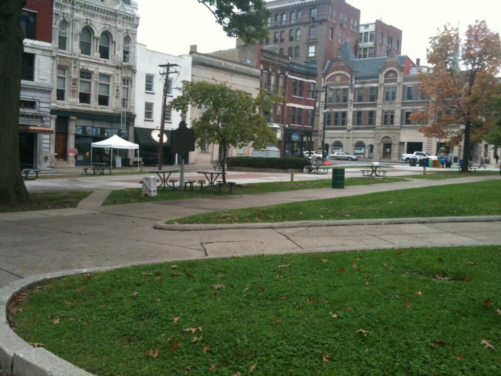
Next to the old Fayette County Courthouse lies Cheapside Park. The park was expanded last year by the closure of a narrow street and the elimination of several on-street parking places. It was a great decision as many of the businesses along the park have added sidewalk dining and many downtown area brown-baggers (including yours truly) visit the park and its tables during our lunch hours.

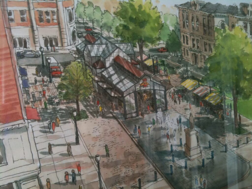
Beginning next month, construction will begin on the Fifth-Third Pavilion, a glass and steel structure that will house the Lexington Farmer’s Market (as well as other functions and events). Cheapside Park has truly become a downtown center of commerce and activity (much as it was in its early history, though it was then used for the sad purpose of trading slaves). Pictured above is how Cheapside Park appears today; pictured below are artists rendering of Cheapside Park as it will appear next summer.

No Destination (& Kentucky 120) Progress Maps


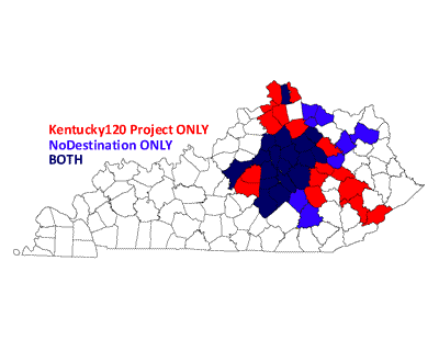
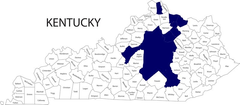
After my October 4 journey through Bourbon, Nicholas, Robertson, Mason and Bracken Counties (I also quickly drove through Harrison County, but without time to meander and stop for pictures – thus, it doesn’t count), I have visited 22 of Kentucky’s 120 counties (or 18.33%).

This coming weekend, my wife’s grandfather would have celebrated his 100th birthday. He passed several years ago, but we will be traveling to Carter County to celebrate. I am going to drive separately and look forward to adding to my count.

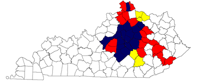
Below is a map of Nate’s and my combined journeys. Counties visited by Nate alone are in Red; those visited by me alone are in Yellow. Counties visited by both of us are in Blue.