Beyond Wilmore lies a quiet country road from which you can find the Asbury Trails which are owned by Asbury University. These trails overlook the Palisades and descend to the Kentucky River. Because of their proximity to Lexington, they are trails which I tend to frequent.
Asbury Trails are so close to Lexington, yet a world apart. As Lexington has grown, it is more and more difficult to find accessible natural locations where you can rejuvenate the mind, body, and spirit. Raven Run and McConnell Springs are both good locations in Fayette County, but there are many more great hiking locations in central Kentucky especially along the banks and bluffs on either side of the Kentucky River.
The Kentucky River Palisades rise some 400 feet on either side of the Kentucky River in what geologists call an entrenched meander. According to the trails brochure, “about ten million years ago the Bluegrass was a flat, low lying area. The Kentucky river slowly wound across a wide plan. Then eastern America experienced a broad uplift, raising this area 400 feet [and the] river began cutting into the uplifted plateau.” Silt build up at bends in the river also led to the formation of landings, many of which became crossings for buffalo and later settlers (and even later, bridges) over or through the water.
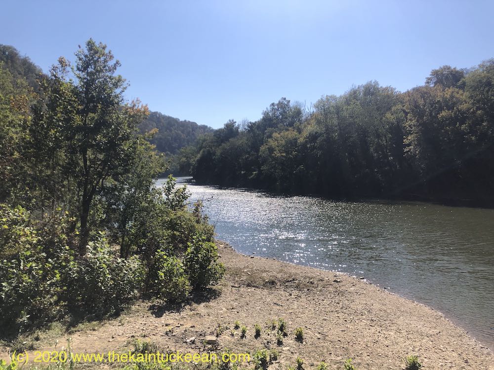
At the river, the Asbury Trails reach one such location. The small, rocky beach is adjacent to the city of Wilmore’s water intake tower which draws up 2 million gallons per day for the city’s water usage.

According to the Jessamine County Kentucky River Task Force, “toll roads were privately built for profit (if any) in conjunction with specific ferries. The Fulkerson Ferry was chartered at this site in 1789 and was in use when a toll road was built in the mid-1800’s for travel between Lexington, Harrodsburg, and the Shaker community at Pleasant Hill in Mercer County. Prior to its use as a stage crossing, it was a major buffalo crossing at the shallow sand bar here.” On the Mercer County side of the river,
Stage coach houses were built on both sides of the river to accommodate travelers and horses. Known stage lines using this crossing were The Smith Stage Coach Line and the Lexington-Harrodsburg Line.

The trails consist of a half-mile Hillside Trail which follows along the top of the bluff ending in a meadow after passing through woods and across the ravine. The Old Stage Road Trail, three-quarter miles in length, descends 350 feet from the bluff along one side of the ravine toward the river. A bridge at the end of the trail cuts over to the old crossing and the intake tower. A gravel road descends on the opposite side of the ravine to complete the loop.
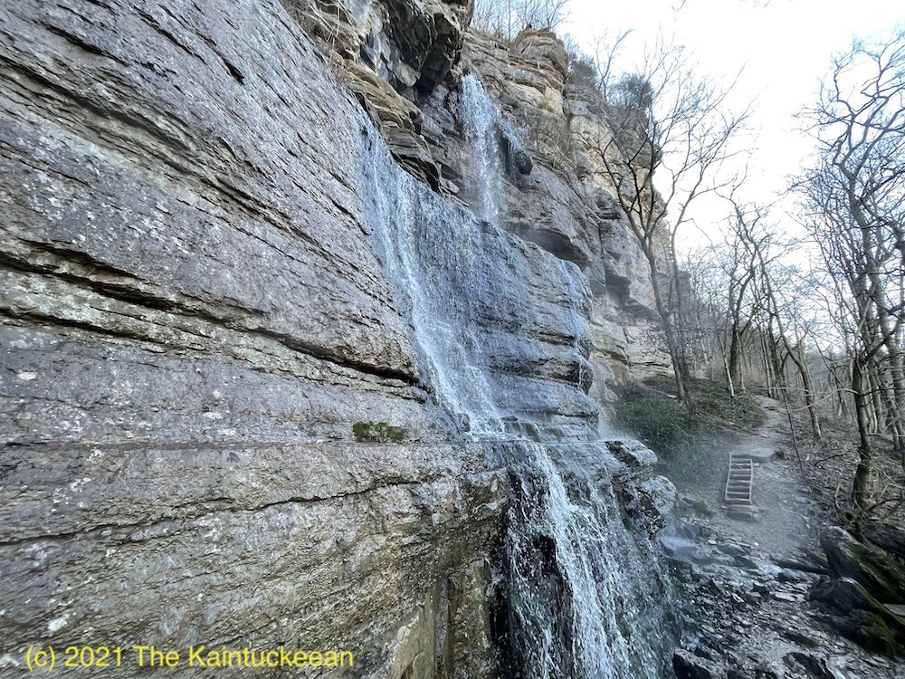
At the end of the Old Stage Road Trail is the beginning of a quarter-mile Great Wall Trail which gives the best vista of the rock formations that make up the Palisades. (The trail actually continues more than the 0.25 miles, but the “unofficial” trail extends beyond Asbury’s property line.)
These short trails are beautiful and worth visiting.
Resources
Asbury Trails, Official Site
Jessamine County Trails Association
Kentucky River Guidebook

